VT Phone Home
 Justin Wheaton
 VT, The Hitch
 To tie a VT hitch, you need to have an eye to eye cord. The hitch is tied by first wrapping the cord around the host rope about 3 times, followed by braiding the remainder of the cord around the host rope, and lastly connecting to both the sewn eyes. A popular hitch with arborists, it provides a reliable grab, while also being more releasable due to the gripping force being spread out across the braided section. Collapsing the braids straightens the rope, freeing the rope in most cases.
VT, The Prusik
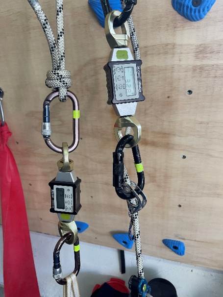
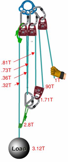
A VT prusik, refers to a supple sewn eye to eye cord, about 33 inches long, constructed with aramid fibers with very high melting points. The specific design criteria was developed to enhance the overall use of the cord. The suppleness, often achieved by reducing the number of core strands or using specific carrier and braid sheaths, allows the hitch to grip host ropes very tight, while the high melting point of the aramid fibers allows for the cord to move over the host rope without melting. This enhances the releasability of the hitch, and even allows for the cord to move aggressively over weighted host ropes. The term became common after Bluewater Rope started to manufacture the specialized prusik with all the above-mentioned features, calling it by the name VT Prusik. Aside from being used in the VT hitch configuration, the eye to eye length of cord can be used for any number of applications in mountain travel and rescue systems. It's use as a tether, draw, anchor or anchor extension, rope grab, belay component, liter bridal legs, autoblock, asymmetric prusik hitch, and stylish necklace to name a few that come to mind!
Not all VT prusiks are the same
The Rope Rescue Oversight Committee endorses the use of the Bluewater VT Prusik. While we do not specifically exclude other makes from use, there is a few reasons for this endorsement we need to consider. First, the Bluewater VT Prusik best meets the design criteria mentioned. The cord is supple, it’s sheath is fully aramid fiber, and the 8mm version maintains a 19.5kN breaking strength end to end. And it is made in the USA. By comparison, other brands versions of VT Prusiks, can be found with a blended sheath, with both aramid and polyester fibers, which sacrifices that heat resistance. Other brands cord is a more dense sheath, making it stiffer, and less likely to grab finicky host ropes. Second, extensive testing of VT prusiks in rescue systems, has shown that when tied and deployed correctly, acts as a suitable part of belay, passing the ASTM F2436 standard for rope rescue belay system performance. What we do prohibit, is the use of VT prusiks that have been manufactured by non-reputable, off brand companies especially of unknown countries of origin. The brand GM Climbing is one such example. As the use of this product becomes more prevalent in our systems, a few key things should be remembered. Buy your gear from reputable sources and brands you know and trust. Practice using the gear in safe areas with knowledgeable mentors before using it on a rescue or recreationally. Never assume you are using it correctly, seek guidance and ask questions!

If you would like to read more about the VT prusik and its use in rescue applications, check out the following research papers.
VT Prusik for Rescue Belays, Mike Gibbs
Down the Rabbit Holes of Small-Diameter Rope Systems, Justin Wheaton, Jonathan Wilson, Craig McClure