
Farewell UTM: Is it Time to Switch to Something Else?
 Jeff Lehman
 I started in search and rescue in 1996. In that time I have seen the rise of GPS from expensive, specialty item to a ubiquitous pocket commodity, the replacement of the pager with a reliable cell phone network (not always a good replacement), and ever increasing use of computers in planning and executing SAR missions. Heck, you can even purchase a satellite text communications device that will track you, and allow simple text communication for less than $300. Speaking of my handheld GPS. I haven’t carried a single-purpose GPS in the field in about a decade. I can carry a GPS, and all the maps of California on my cell phone, and I don’t need any network coverage to use those maps, or even to download my track at the end of the mission. The smartphone is a truly useful SAR tool.
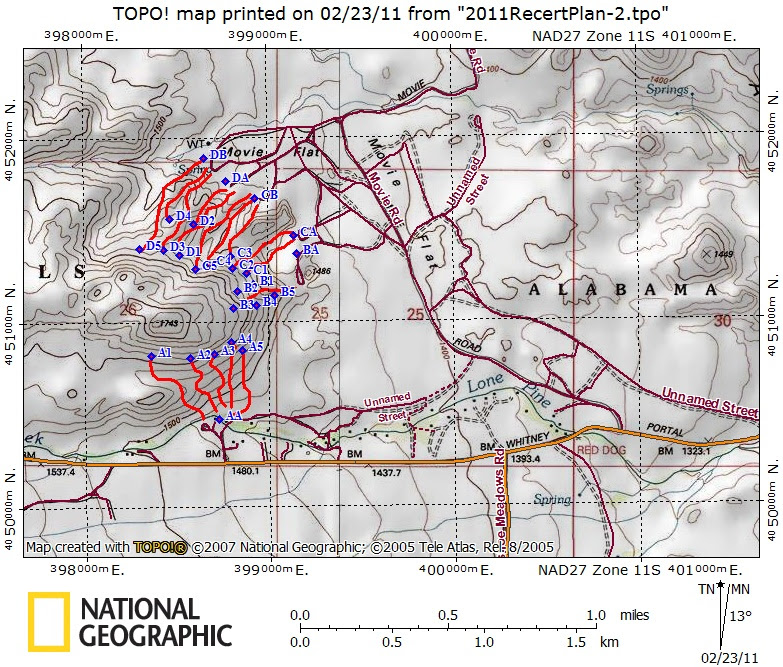
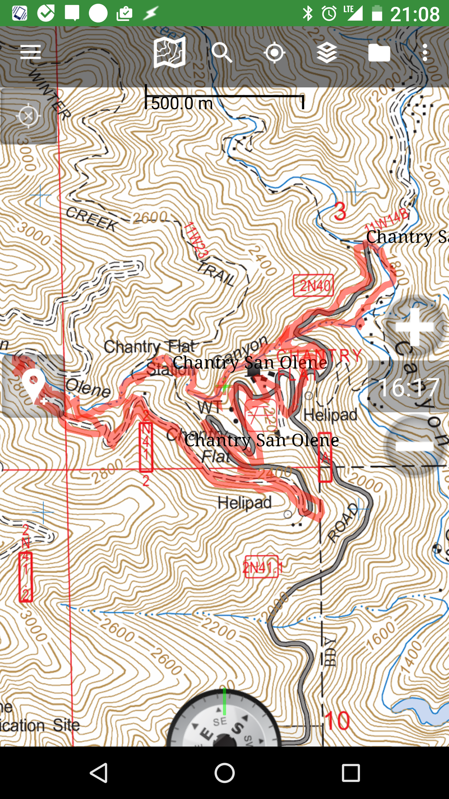
Each year, like every MRA team in the state, my team must retest in one of three disciplines: Technical rope, snow and ice, and search management and tracking. The 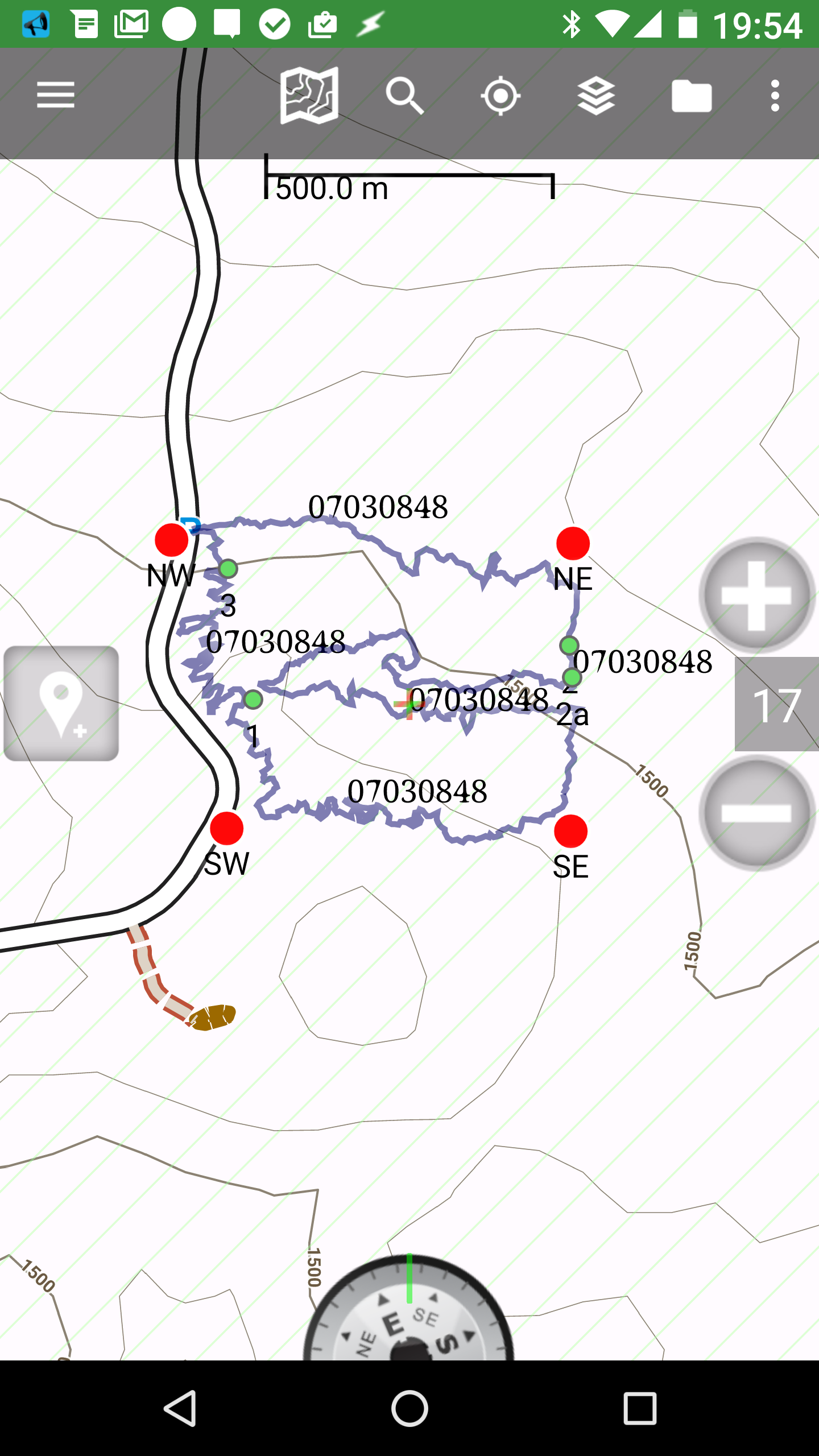 discipline rotates every three years. We had our search management and tracking training this past month, and I had a chance to reflect on how search management and searching has changed over the years. The basics are the same. We use maps, compass, tracking sticks, sketches, etc. However, I am finding that I no longer print paper maps. Now, keep in mind that I LOVE maps. There’s something about geospatial data that fascinates me. Having a large map nearby that shows the context of information at hand, is very powerful. However, if I am completing a search mission in the field, I like to have that info on my phone where I can overlay my position, and readily store clues, and photos. If I have cell service I can easily send those photos and data to others. This is a game changer.
Likewise, in the command post we no longer huddle over the paper map on the table, but a computer screen. Sure, we will occasionally print a large map for reference, but much of the work is done looking at a computer screen.
 Given this sea change, I’m ready to dump UTM coordinates as the standard. UTM coordinates are incredibly useful when using a paper map. They are also useful in that they can indicate actual distances over ground easily. However, they can be confusing when it comes time to parse them when entering them on a computer. For example, my station’s UTM coordinates are, 11S 0478903E 3773545N. When I enter it on the computer, is there a space between the zone and latitude band? Is there a space between the latitude band and the easting? In our neck of the woods do you include the leading zero in the easting? Do you include the “E” and “N” in the easting and northing? Is there a space or some other punctuation between the easting and the northing? It can be confusing if you want to enter a coordinate in a computer.
Compare this to decimal degrees, 34.1025, -117.2287. A simple, comma separated series of digits. It’s no wonder that this is the standard when dealing with Google Maps, and other auto navigation systems. I've found it to be less susceptible to serious systematic misunderstandings. Many years ago, while on a search in Joshua Tree, I listened to one of the most entertaining radio conversations in my SAR career. A team found, what could be, a clue, and called the command post to report its position. First, the team reported a 3x3 UTM. The command post reported back that they were “missing some digits”. The team repeated the position without the zone and latitude band. Again, the CP reported missed digits. The team then added the zone and latitude band. Guess what? Missed digits. The team then switched to latitude and longitude in DMS. No go. Latitude and longitude in D M.M. No go. Latitude and longitude in D.DD. No go. In frustration, the team said that they would just collect it, and figure it out with the CP later. Who knows what was going on. Maidenhead grids? Township and range? Would reporting in decimal degrees (D.DD) have made it easier in this case? Probably not, as there was something else bigger going on, but I bet all of you have had similar experiences. As we begin to transition to electronic maps, it’s time to drop the mighty UTM a notch, and use something more amenable to copy/paste and easy parsing in the electronic world.
Reader Comments