Local Snow Conditions
Videos

Entries in MapSAR (2)

Thursday
Mar282013

MapSAR: The Latest SAR Mapping Tool

On Dec 8 and 9, 2012, I attended a free workshop to introduce a GIS application called MapSAR to 40 attendees from several search and rescue teams throughout the state.
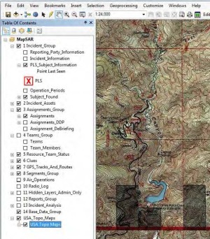
The MapSAR application is the result of collaboration between members of the Sierra Madre Search and Rescue Team, ESRI, Sequoia and Kings Canyon National Park, Yosemite National Park, Grand Canyon National Park, and the Mountaineer Rescue Group.

The goal of MapSAR is to bring GIS techniques and technologies to the Search and Rescue field. What is GIS? GIS as defined by ESRI is “A geographic information system (GIS) integrates hardware, software, and data for capturing, managing, analyzing, and displaying all forms of geographically referenced information.”

Click to read more ...

Sunday
Sep162012

Free MapSAR Training Course December 8-9

Don't miss out on this opportunity to receive top notch instruction in the use of MapSAR. The participant will learn how to use the free MapSAR tool with Esri’s ArcGIS Desktop product.  It is designed for individuals with limited or no GIS experience. GIS has proven to be beneficial to map emergency incidents.  This class will teach you how to create search segments (probability areas), draw search assignments and print maps for field crews and the command post.  You will also learn how to track incident activities like clues, field team status, debriefing information and GPS track logs.  This is a hands-on training class; computers, textbooks, reference manuals and software will be provided for 30 students. Please fill out the registration form and email it to John Amrhein (jamrhein@sbcsd.org) if you are interested in attending. Class participant selections will be announced November 15.
Dates/Time: December 8-9 (16 hrs) 8:00 am – 5:00 pm
Location: San Bernardino County Sheriff’s Headquarters
655 E. 3rd. St.
San Bernardino, CA 92415