On Dec 8 and 9, 2012, I attended a free workshop to introduce a GIS application called MapSAR to 40 attendees from several search and rescue teams throughout the state.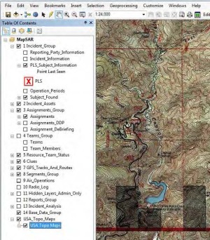
The MapSAR application is the result of collaboration between members of the Sierra Madre Search and Rescue Team, ESRI, Sequoia and Kings Canyon National Park, Yosemite National Park, Grand Canyon National Park, and the Mountaineer Rescue Group.
The goal of MapSAR is to bring GIS techniques and technologies to the Search and Rescue field. What is GIS? GIS as defined by ESRI is “A geographic information system (GIS) integrates hardware, software, and data for capturing, managing, analyzing, and displaying all forms of geographically referenced information.”
The power of a GIS comes from its underlying technology. Unlike paper maps and computer based mapping programs where you draw graphics on top of a base map, a GIS is actually a database. When you view maps in a GIS system, the roads, contour lines, and lakes are individual elements in tables in a database and each individual road, contour line, and lake is a record in their respective tables. The data that is stored in the tables persists after the search is over. The data in these tables can be selected and displayed, or given “attributes” specific to the needs of the user. This is where the power of GIS comes in. For instance, if you wanted to select all of the houses that are on a particular street, you can select the street by name within the table, create a user defined shape file by defining a buffer, or distance beyond the edge of the street, that encompasses the street and use this new shape file to select the subset of houses located on that street.
MapSAR is an application that consists of data and tools which work with Environmental Systems Research Institute (ESRI) ArcGIS Desktop application suite. The ArcGIS Desktop suite consists of three applications. The first, ArcCatalog, is primarily used for browsing geographic data and database tables, import and export of data, and to alter data. The second, ArcMap, is the workhorse of the suite. This application is used to create and print maps, legends, and reports, editing and performing geographic processes to create new datasets, such as the selection of a subset of houses described above. ArcToolbox, while not a separate application in itself, is a critical component to the suit. ArcToolbox, contains tools that perform geoprocessing tasks on data.
ArcCatalog and ArcMap functionality can be extended with custom code written in .NET, Java, or Python. This is what the developers of MapSAR did. By creating a custom database, set of tools, maps, reports, and workflow, they have come up a process to manage searches.
The operating database that MapSAR uses contains tables for managing searchers, operational period information, search assignments, team types, and many more. For instance, as searchers check in, their information is recorded. At any point in time, command staff can see who has checked-in or checked-out. Search areas for an entire operational period can be created and be assigned to search teams within a matter of minutes. Additionally, the printing of the maps with the search areas can be automated. The field maps can contain communication, safety, and verbal descriptions that are either unique to a particular map or common to all areas. Furthermore, all these maps can be printed out in a matter of minutes, getting teams out into the field faster, with more accurate, up-to-date information.
You can start using MapSAR yourselves. MapSAR itself is free from www.mapsar.net. A one year license for ArcGIS Desktop is available from ESRI for $100.